The Underwater Robot That Could
Using data from a robot, scientists have created the first detailed, 3-D maps of Antarctic sea ice thickness.

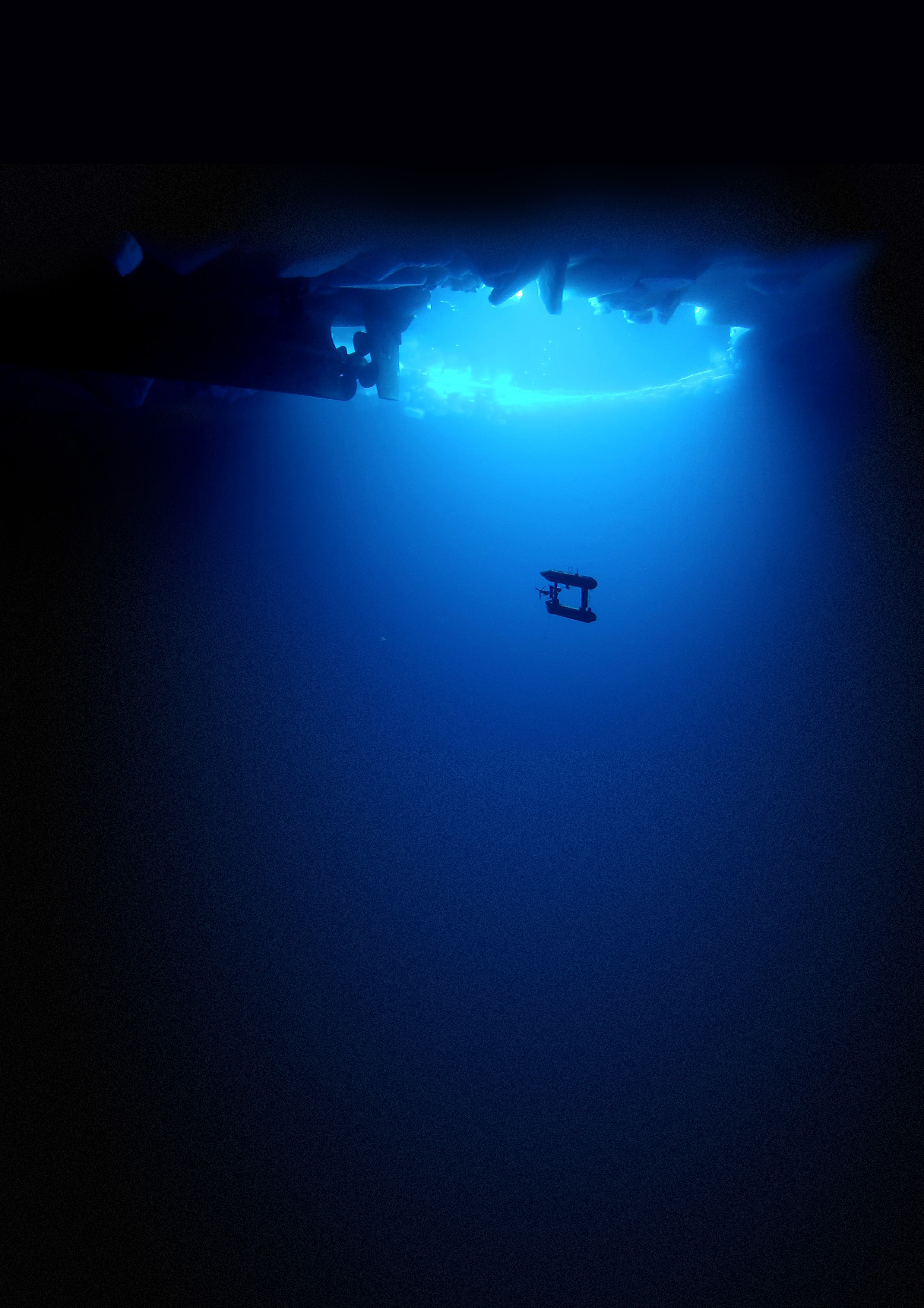
The autonomous underwater vehicle SeaBED. Credit: Klaus Meiners/Woods Hole Oceanographic Institution
That square suspended in an azure abyss is a pioneering robot. Over the course of two Antarctic expeditions in three seas, the autonomous underwater vehicle used sonar to gather data on ice floes. From that data, a team of scientists generated the first detailed, 3-D maps of sea ice thickness in Antarctica, reporting their results last month in Nature Geoscience.
The robot is one of a “family” of robots called SeaBED, originally built to study the sea floor. But for two missions—one in 2010 and another in 2012—researchers turned its sensors upwards to scan 10 different ice floes drifting in the Bellingshausen and Weddell Seas in West Antarctica, and off Wilkes Land in East Antarctica.
Climate models suggest that as sea ice shrinks or grows in breadth, its thickness should change, too. “If we get a picture of both the extent and the thickness, then we are really looking at how the ice interacts with climate—responds to climate change—in two different ways,” says Ted Maksym, a sea ice scientist at Woods Hole Oceanographic Institution and one of the study’s co-authors. “It gives us a much deeper understanding of what’s going on and helps us understand whether our climate models are working properly or not.”
Scientists have a fairly good gauge on the extent of sea ice in Antarctica, thanks to 30 years of data from satellites. “But these satellites—they really only see the surface,” says Maksym. “You don’t get any idea of what’s going on in three dimensions.” Drilling, on the other hand, provides measurements on ice thickness, but it results in only a few hundred datapoints at a time. Meanwhile, SeaBED “will map an area the size of a couple of football fields, and you get tens of thousands of points, actually, of ice thickness,” says Maksym. “It’s a much, much richer data set.”

The data that SeaBED collected enabled a good look at what lies beneath—and it wasn’t what the scientists expected: The sea ice in the regions the robot explored was thicker than what measurements from drilling and ship-based estimates have indicated. Indeed, historical data suggest an average thickness of about a meter, but SeaBED revealed averages ranging from 1.4-5.5 meters. “When we first saw the data, it was pretty puzzling,” says Hanumant Singh, a scientist at Woods Hole Oceanographic Institution, who developed the robot.
The disparity might be because of sampling bias. Maneuvering ships—even icebreakers—into areas of thick ice in order to take measurements is difficult. Further, “for the very thickest floes, it’s very challenging to drill through them, so we’ve probably been avoiding those,” says Maksym. “It’s not that [thick sea ice] wasn’t there before, it’s just we couldn’t access it very easily,” he says.
SeaBED can only take scientists so far, however. The robot, which is about the size of a motorcycle, can travel 10 kilometers before coming up for air (so to speak). At its maximum, however, Antarctic sea ice covers an area the size of North America.
The researchers envision using underwater robots built for longer hauls that will survey larger areas of sea ice thickness. Eventually, they can use those surveys to calibrate readings taken from above by satellites. Indeed, newer satellites can measure the height of sea ice above the surface, but snow interferes with making accurate estimates about ice thickness. “By looking at the top and the bottom [of sea ice] at the same time, you can get a much better picture of what the satellite is actually seeing from space, and you can convert those space-borne measurements into a thickness more accurately,” says Maksym.
The team is already working on the next generation of SeaBED, which will be able to travel 100 kilometers on one trip. It’s slated for a maiden voyage to the Arctic in October 2015.
Julie Leibach is a freelance science journalist and the former managing editor of online content for Science Friday.