Grade Level
3 - 5
minutes
15 minutes or fewer
subject
English Language Arts
Activity Type:
interpretation, classroom strategy, Observation skills
Introduction
An image is a powerful tool for earth and space science instruction. By providing a visual representation of the physical world, a photograph can set the stage for a conversation about science and how it can be used to understand phenomena on earth—and beyond.
Although images may be used throughout a class period, using an image at the very beginning of a class engages students and directs classroom discussion for the day. Here are three approaches to using images as gateways to instruction.
Materials:
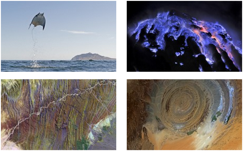
Select an image that can be digitally projected in the classroom or printed for students. Start by searching through images in Science Friday’s Sci Candy series. Focus on choosing an image where the highlighted subject matter ties in to your student learning objectives for the day.
Science Friday’s Sci Candy Series:
1) Teacher-led Image Presentation
Display an image to the students and provide your own summary of what the image shows (your summary can be generalized from the description provided with the image on the website). This can act as a warm-up activity intended to spark interest and as a tie-in to the day’s lesson. After the initial presentation of the image, you can ask students to comment on what they see, or you can use guiding questions to encourage them to summarize what the image is showing.
2) Student-led Image Presentation
Each week, assign a different student the task of selecting an image (or use the current Sci Candy), requiring that she or he read the corresponding article about the image ahead of time for homework and rephrase the text into “student-friendly” language appropriate for the grade level. The information a student presents will be highly dependent upon the information in the image caption and/or companion text and will typically include where and when the image was taken, whether or not the subject matter is a one-time event (such as a specific flood or hurricane), and a sense of scale. Note that students may have to use other online resources to make sense of the text and terminology.
By having students take ownership of the exercise, it becomes a shared responsibility of time and learning. Teachers using this format have noticed that students seem to have an elevated interest because one of their peers leads the discussion, and they are eager to ask follow-up questions to the content being presented.
3) Image Observation, Question, Interpretation
Provide students with an image worksheet to complete while examining a photograph. Begin by showing the picture without sharing any information about the image with students. Ask students to work individually, first writing down what they observe about the image. Next, ask students to write down questions they may have about what they are observing. Students generally come up with good questions, such as, “Where was this taken?”, “What year was this taken?”, “What do the shades of color mean?” Lastly, ask students what their interpretation of the image might be—meaning, the conclusions they arrive at based upon their observations. Because students often confuse an interpretation with an observation, ask them to share their list of observations and then their list of interpretations out loud in class so that everyone understands the differences between the two. Lead a discussion with the students about the important role that questioning, observation, and interpretation play in any scientific investigation.
This activity can also be completed as a think-pair-share with the worksheet: students first think about and write down their own individual observations and interpretations, then discuss their ideas with another student, and finally report a summary of their thoughts to the class.

This exercise was written by Dr. Laura Guertin, Associate Professor of Earth Science at Penn State Brandywine in Media, Pennsylvania. Information for this exercise was also contributed by Heather Spotts, an educational consultant at the Central Intermediate Unit #10 in West Decatur, Pennsylvania.
Related Links
- Science Friday: Sci Candy
- PAESTA’s classroom resources
- Think Pair Share – Science Education Resource Center
Standards
CCSS.ELA-Literacy.RI.9-10.2: Determine a central idea of a text and analyze its development over the course of the text, including how it emerges and is shaped and refined by specific details; provide an objective summary of the text.
CCSS.ELA-Literacy.RI.9-10.7: Analyze various accounts of a subject told in different mediums (e.g., a person’s life story in both print and multimedia), determining which details are emphasized in each account.
Educator's Toolbox
Meet the Writer
About PA Earth Science Teachers Assoc.
The Pennsylvania Earth Science Teachers Association facilitates and advances excellence in Earth and Space science education across the state of Pennsylvania. Learn more at www.paesta.org


